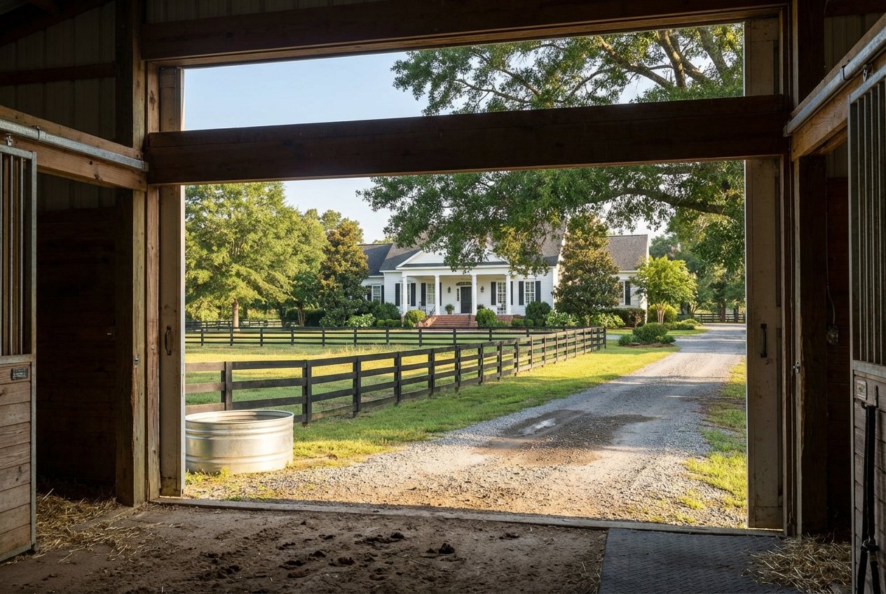
How To Read a Land Survey in Lee County
Ever opened a land survey for a Lee County property and felt like you were reading a foreign language? You are not alone. Whether you are buying, selling, or planning a project, understanding the basics helps you protect your investment and avoid surprises at closing or during construction. In this guide, you will learn how to read each part of a survey, what to verify with county offices, and the practical steps to take before you sign or build. Let’s dive in.
A land survey defines your property’s boundaries and shows where improvements, easements, and rights-of-way sit on the ground. You use it to clear title, satisfy lender or title company requirements, and plan additions, fences, driveways, pools, or septic systems. It also helps you spot encroachments that could lead to disputes. A survey is a professional opinion based on evidence; courts resolve disputes if they arise, but the survey is your starting point.
Look for the survey title, the owner or party who ordered it, the parcel address or tax ID, the survey date, the scale, a graphic scale bar, and the north arrow. Verify the parcel details match your deed and contract. The survey date matters because site conditions, improvements, and even nearby construction can change over time.
Find the surveyor’s certification statement, signature, license number, and stamp or seal. In North Carolina, surveys should be prepared and stamped by a licensed Professional Land Surveyor. Review any notes that limit the scope of work so you know what the surveyor did or did not include.
The legend explains symbols for items like iron pins, concrete monuments, fences, utilities, and building corners. Match the symbols on the map to the legend so you can follow the features correctly.
General notes may list the horizontal datum and coordinate system, source records reviewed (deeds and plats), and assumptions or limitations. Pay special attention to any recorded documents cited by book and page or instrument number. These references point to deeds, plats, and easements that affect how you can use the land.
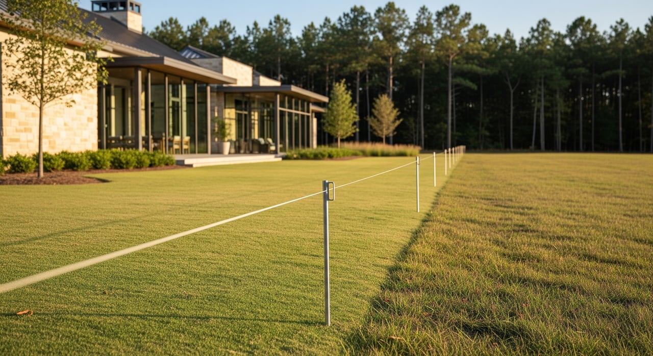
Boundary lines are shown as solid lines with bearings and distances. A typical bearing looks like “N 45° 30' 00" E.” Read this as starting from north, rotating 45 degrees 30 minutes toward the east. Bearings tell you direction, while distances tell you how long each segment is.
Distances are usually in feet and decimals, such as 150.00'. The sequence of bearings and distances forms a metes-and-bounds description that should trace back to the recorded deed or plat. Check that the survey references the correct deed or recorded plat for the parcel.
Corners are often marked by iron pins, concrete monuments, or PK nails. Surveys label found monuments and those set by the surveyor. If a monument is missing, notes should explain how the corner was established, such as a calculated position based on recorded calls.
Surveys often show adjoining parcels, the owners’ names for tax purposes, and references to recorded plats. This helps you identify shared boundaries and features that might cross lines, such as fences or driveways.
Easements appear as dashed lines and are labeled with their purpose, such as utility or ingress/egress. Each easement should cite a recorded instrument. Note whether easements cross through the property or follow a boundary and whether they are exclusive or nonexclusive. This affects where you can build and what you can fence.
If your property fronts a state road, right-of-way width and any recorded easements can affect usable area and driveway access. The survey should show the edge of pavement and the right-of-way line if known. If details are unclear, plan to confirm right-of-way data with the appropriate transportation authority.
House corners, porches, decks, sheds, pools, and driveways are often shown relative to property lines. Look for distances from structures to boundaries. If anything crosses a line or falls inside an easement, the survey should note a potential encroachment.
Setbacks are the minimum distances structures must be from property lines. Some surveys show setback lines, but many do not. In Lee County, setbacks depend on zoning and whether the parcel lies inside a town’s limits. Plan to verify the applicable setback table with Lee County Planning and Inspections or the municipal planning office where the property is located.
Properties inside the City of Sanford, Broadway, or other municipalities may follow municipal zoning codes and permits, not county rules. Confirm jurisdiction, zoning district, and any overlay districts before you rely on setback or use assumptions.
Curved boundary segments are listed with radius, central angle (delta), arc length, chord bearing, and chord length. Arc length measures along the curve; the chord is the straight line connecting endpoints. Check the curve table to match each curve label on the map.
Surveys often state the parcel area in square feet and acres and may explain how it was computed. Note whether the area comes from the field survey or from a recorded plat or tax record. Field-calculated areas generally provide the most reliable numbers for design and permitting.
Some surveys include FEMA map panel references and show any mapped Special Flood Hazard Area. If flood risk could affect insurance or construction, plan to verify the current flood maps and ask whether an elevation certificate or map amendment is needed.
Surveys may show visible utility features such as poles, meters, or utility boxes. Underground utilities can be approximate unless the scope included utility locates. If you plan to build, expect to coordinate utility marking and exact locations during design.
For properties with on-site wastewater, septic field placement and setbacks to property lines, wells, and structures are critical. Use the survey to evaluate space for primary and repair areas. Coordinate with the appropriate environmental health office to confirm permitting requirements.
Survey costs vary with lot size, terrain, tree cover, number of corners, availability of records, and scope. A simple boundary survey can range from the low hundreds to a few thousand dollars. ALTA/NSPS surveys often cost more due to detail and title requirements. Timelines range from a few days for very simple lots to several weeks for complex properties or when historic records must be researched.
Order your survey early if your lender or title company requires it, if there are potential encroachments, or if you plan improvements soon after closing. Sellers can benefit from a recent survey that speeds buyer due diligence and exposes issues before they derail a deal.
Use this quick checklist to spot issues and plan next steps:
Surveys sometimes reveal conflicts between what the deed says, what the tax map shows, and what is found on the ground. Start with the surveyor’s documentation and the recorded instruments cited. If neighbors disagree about a line or an encroachment, ask a licensed surveyor to retrace and review monuments. If disagreement remains, options include negotiation, mediation, or legal action. Courts can issue final boundary determinations when necessary.
Reading a survey is only the first step. You also need to translate what you see into clear decisions about title, access, building envelopes, utilities, and future improvements. A team steeped in rural property can help you evaluate how easements, setbacks, and topography affect value and use. At Legacy Farms & Ranches, our land-focused approach, concierge logistics, and brokerage network support help you move from questions to action with confidence.
Ready to buy, sell, or plan improvements on your acreage in Lee County? Talk with the specialists at Legacy Farms and Ranches to align your survey, due diligence, and goals.

If you have a unique country home, hunting or fishing land, or other premier North Carolina property for sale, call Legacy Farms and Ranches today to learn how they can help you market your property to thousands of discerning viewers across the country.
Get In Touch With Our Team To Learn More About Our Services! Although the disclaimer is below, we will only put you on our Newsletter Mailing List!
Legacy Farms and Ranches of FM Realty
7980 Arco Corporate Dr Ste 105 Raleigh NC 27617