Using NRCS Soil Maps When Buying Land in Nash County

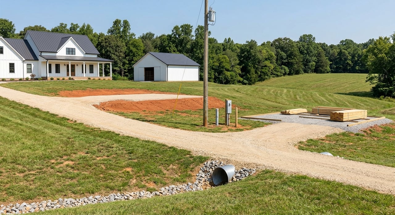
Should you buy that Nash County tract if you don’t know what is under your boots? If you are eyeing land around Rocky Mount and ZIP 27804, the soil will influence everything from septic permits to build costs and usable acreage. You can get a head start with free USDA NRCS soil maps before you spend money on site testing. In this guide, you will learn exactly how to pull a soil map, what to look for, who to call locally, and the smart contingencies to use. Let’s dive in.
NRCS soil surveys compile mapped soil units with detailed attributes like texture, drainage, permeability, depth to seasonal high water table, hydrologic soil group, and suitability interpretations for septic systems and building sites. You can view this data in the free NRCS Web Soil Survey. The maps are excellent for early screening and planning.
Keep in mind that soil maps are interpretations based on field work, lab data, and remote sensing. They are generalized at the parcel scale and do not replace on-site testing. Use them to flag likely constraints, estimate potential costs, and plan your due diligence.
Follow these steps to get a quick soil picture for any 27804 address:
Go to the NRCS Web Soil Survey.
Set your Area of Interest. Search by address or draw a polygon around the tract. This locks in your map window.
Open the Soil Map tab. Click each map unit polygon to see soil names, component soils, and summary properties.
Use the Soil Data Explorer. Run interpretations for topics like septic suitability, building site development, agriculture, and hydrologic properties. Read the narrative notes for limitations.
Export reports. Print the Soil Map and “Soil Properties and Qualities” report for your files. These PDFs are useful for discussions with consultants and county staff.
For on-site wastewater, pay close attention to permeability, soil texture, slope, drainage class, depth to restrictive layers, and depth to seasonal high water table. In the Soil Data Explorer you will find interpretive ratings and notes that highlight potential limitations or the need for alternative designs. Always confirm outcomes with Nash County Environmental Health, since local permitting rules and on-site evaluations determine final approval.
Foundation costs are influenced by shrink-swell clays, perched water tables, slope, and shallow restrictive layers. NRCS component descriptions can flag high shrink-swell potential or drainage concerns that might require specialized foundations or drainage plans. Use these flags to decide whether to order geotechnical borings and to inform your grading budget.
NRCS maps can identify poorly drained and hydric soils that are often associated with wetlands or seasonal ponding. Cross-check your parcel in the FEMA Flood Map Service Center to see if it lies in a mapped floodplain. Screen for potential wetlands in the National Wetlands Inventory mapper. Wet soils and regulated wetlands can affect permits, insurance, and usable acreage.
Soil texture, available water capacity, slope, and erosion potential shape crop potential, pasture vigor, and drainage needs. NRCS interpretations can also note prime farmland status. Use this information to align your plans with the land’s strengths, whether that is hay, grazing, specialty crops, or timber.
Erodibility (K-factor), slope, surface runoff, and texture influence how much erosion control and grading effort is required. Highly erodible soils usually mean more robust sediment control during clearing, more maintenance, and potentially higher site-prep costs. Factor this into your timeline and budget.
Texture, available water capacity, drainage class, and depth to restrictive layers affect landscape success and long-term maintenance. Matching plantings to soil conditions improves establishment and reduces watering and amendment costs.
In the Coastal Plain, shallow water tables and sandier units can influence well yield and water quality vulnerability. Soil maps help you understand whether a site is likely to recharge quickly or retain moisture. Always confirm well feasibility with a qualified professional.
Soil maps are generalized. A map unit often contains several component soils and boundary lines can be imprecise at lot scale, especially where land has been cut, filled, or graded. Click into component descriptions to see the range of properties.
NRCS maps do not replace on-site work. You still need septic site evaluations and percolation testing for permits, geotechnical borings for foundation design, and wetland delineations if hydric soils or wetland indicators are present. Data is updated periodically, and interpretations can differ from local permitting criteria. Local authorities make the final call.
Septic evaluations, engineered designs, and permit reviews often take weeks. Jurisdictional wetland determinations and related permits can take months. Build reasonable contingencies into your offer so you have time to complete tests, receive approvals, and price any required mitigation.
Include contingencies for on-site soils evaluation and septic permit approval, geotechnical testing if foundations are a concern, and wetland reviews if hydric soils or mapped wetlands appear. Set clear deadlines and decision points so you can proceed confidently or walk away if needed.
Before you write an offer
In your offer and contingencies
Site-specific tests to order
Interpreting results and next steps
Sellers can shorten timelines and reduce deal risk by preparing documentation upfront. Assemble any septic permits or designs, well logs, previous soil or geotechnical reports, and records of past soil borings. Where soils are known to be variable, consider a basic site evaluation before listing to provide clarity on feasible building areas.
A clear package builds buyer confidence and supports stronger offers with fewer surprises.
Buying or selling land in the Rocky Mount area is smoother when you understand the soils beneath it. If you want a seasoned team to help you interpret maps, structure the right contingencies, and coordinate next steps with local agencies and consultants, connect with Legacy Farms and Ranches. We bring hands-on land experience and a concierge approach to your transaction.


If you have a unique country home, hunting or fishing land, or other premier North Carolina property for sale, call Legacy Farms and Ranches today to learn how they can help you market your property to thousands of discerning viewers across the country.
Get In Touch With Our Team To Learn More About Our Services! Although the disclaimer is below, we will only put you on our Newsletter Mailing List!
Legacy Farms and Ranches of FM Realty
7980 Arco Corporate Dr Ste 105 Raleigh NC 27617