Due Diligence Tips For Buying Land In Harnett County
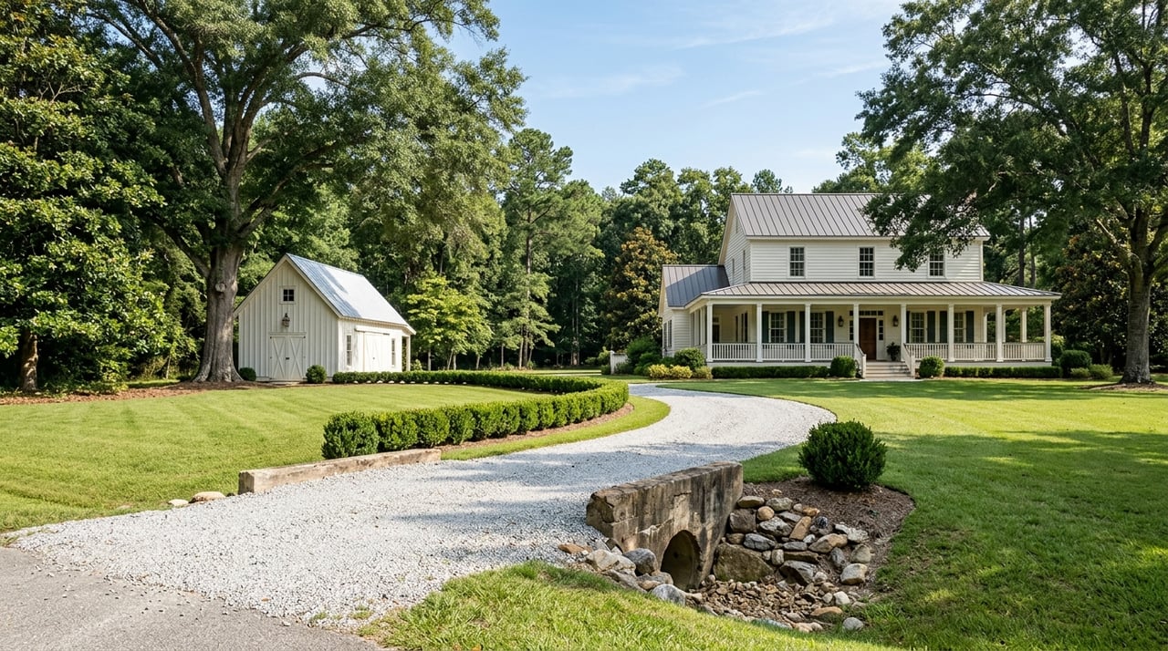
Buying land in Harnett County can open the door to a homesite, hobby farm, or long-term investment, but raw land comes with questions that a typical house purchase does not. You may love the setting and the price, yet still need to confirm access, septic options, zoning, and recorded restrictions before you move forward. A careful due diligence process helps you avoid expensive surprises and buy with confidence. Let’s dive in.
One of the most important first steps is confirming which rules apply to the parcel. In Harnett County, the county zoning ordinance applies only in the unincorporated parts of the county, not inside municipal limits or ETJs, so a property in or near 27526 may not fall under county zoning at all. You can review the county’s zoning framework in the official adopted UDO.
This matters because your intended use may be reviewed under a different local rule set depending on the parcel location. Before you assume you can build, divide, or use the land a certain way, verify the exact jurisdiction and zoning designation.
For a quick first pass, the Harnett County GIS viewer is one of the most useful tools available to buyers. The parcel report can show the PIN or PID, owner information, tax and deed history, acreage, survey references, zoning, and environmental layers such as flood zone, wetlands, and soils.
The GIS viewer can also show whether a parcel sits partly in county or city boundaries and identify parcel-level utility providers. That makes it a smart place to begin when you are comparing several tracts and need to narrow the field before paying for more detailed reports.
Keep in mind that the county notes GIS information is for reference only. If acreage or boundary location is critical to your decision, surveyed or deeded acreage takes precedence over calculated map acreage.
Once you know the jurisdiction, look at whether the zoning supports your intended use. Harnett County’s main rural districts include RA-20M, RA-20R, RA-30, and RA-40, and each district has minimum lot area standards under the county ordinance.
According to the county UDO, current minimum lot areas are 40,000 square feet in RA-40, 30,000 square feet in RA-30, and 20,000 square feet in RA-20M and RA-20R. The ordinance also reduces minimum lot area in some situations when public water and or sewer is available, which means utility access can directly affect what is feasible on the site.
If you are buying land for a mini-farm or rural use, there is another layer to understand. The county ordinance states that bona fide farms are exempt from county zoning provisions, although farm buildings and non-farm uses may still be subject to other applicable rules. For rural tracts, that distinction can be very important.
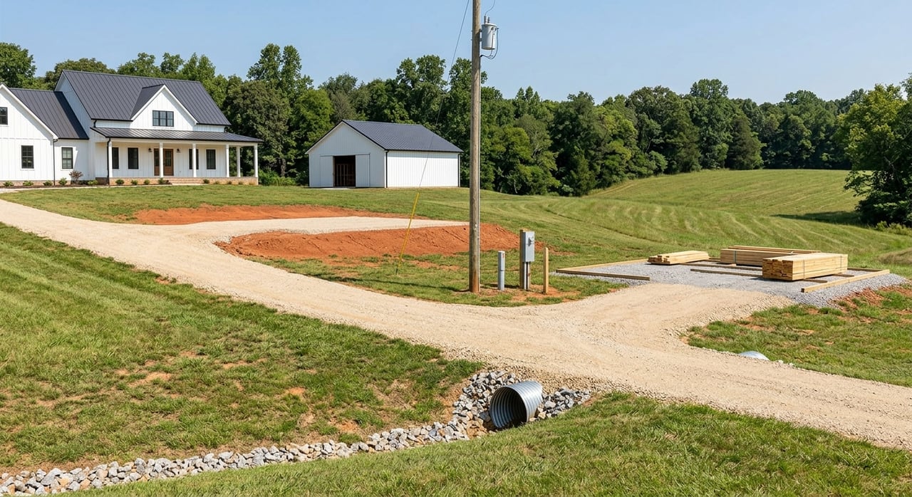
A beautiful parcel is much less useful if access is unclear. Some land has direct frontage on a public road, while other tracts rely on recorded easements or future driveway approvals.
Harnett County’s Planning Services advises buyers to review deed records and recorded documents, and that includes checking for easements and restrictions through the Register of Deeds. The county also notes it does not provide surveying services and recommends hiring a private surveyor when you need to confirm the property’s actual boundaries or access points. You can start with the county’s Planning Services page.
If access comes from a state-maintained road, a driveway permit may be required. The NCDOT driveway permit FAQ states that a permit is required to obtain or modify access to the State Highway System, and review timing can range from about four weeks for simpler requests to eight weeks or more for more complex ones.
Many undeveloped parcels do not have a street address yet. In those cases, searching only by address can create confusion or lead you to incomplete results.
The county GIS system specifically notes that searching by PIN or PID, owner name, or deed can be more reliable. If you are evaluating raw land in Harnett County, ask for the parcel identifier early and use that in your records search.
A seller’s description of land should match the recorded documents. Before you buy, review the deed history, any available survey references, and any restrictive covenants or deed restrictions tied to the parcel.
This step is easy to underestimate, especially with rural land that has changed hands over time or been split from a larger tract. Harnett County notes that restrictive covenants and deed restrictions may be found in recorded documents, and the county does not enforce them, so you need to identify them yourself during due diligence.
A current survey can also help you verify frontage, encroachments, easements, and whether the usable part of the property matches your expectations. For land purchases, that clarity is often worth the cost.
Utilities can shape both your building budget and your site plan. Harnett County’s utility provider information page lists Harnett Regional Water for water and sewer service, along with electric providers that include Duke Energy, Central Electric Membership, and South River Electric Membership.
The GIS parcel viewer may also identify electricity and telephone providers for a specific parcel. In rural areas, service availability can vary a lot from one tract to the next, so it is wise to confirm utility options before you make assumptions about connection costs or build timing.
If the parcel does not have public sewer, septic feasibility should move to the top of your checklist. The county’s Environmental Health applications page includes forms and resources for new well construction permits, septic affidavits, existing septic tank instructions, septic system types, and well abandonment permits.
The county’s Unified Development Ordinance also requires soils evaluations in certain plat and subdivision situations, including newly proposed lots and some existing septic-system lots. The purpose is to confirm usable soil exists for both initial and repair areas and that required setbacks can be met.
In practical terms, if your purchase depends on building a home with private wastewater, do not treat septic as a minor detail. Confirm feasibility before the end of your due diligence period.
Online soil tools can help you avoid obvious mismatches early. The USDA NRCS states that Web Soil Survey is the official online source for soil survey information and is intended to support land-use decisions.
NRCS notes that soil surveys can help identify concerns such as depth to water table, flooding or ponding, depth to bedrock, and slope. Paired with the county GIS viewer, this gives you a practical way to screen a tract before spending money on site-specific professional work.
Still, online maps are only a starting point. When a buildable homesite depends on septic performance, a site-specific review should be handled by the right qualified professional.
Land due diligence works best when each issue is checked by the person qualified to confirm it. For most Harnett County land purchases, the best-fit team often includes a private surveyor, county planning staff, Environmental Health, and NCDOT if road access is involved.
For soils work, the standard is even more specific. NC DEQ’s soil scientist policy says a North Carolina licensed soil scientist should sign, seal, and date the report.
That means GIS and soil maps can help you screen a parcel, but they should not replace professional review when your purchase decision depends on a homesite, septic approval, or subdivision potential.
Not every acre on a parcel is equally usable. Floodplain, wetlands, slope, and soil conditions can all affect where you can place a home, driveway, barn, or future improvements.
The county GIS viewer includes environmental layers such as flood zone, wetlands, and soils, which makes it a helpful early warning system. A tract may look ideal at first glance but offer a much smaller practical building area once setbacks and environmental features are considered.
If you are considering a more complex project, timing matters as much as feasibility. Harnett County’s Development Review Board page explains that the board reviews items such as subdivisions, multifamily projects, and commercial site plans in the Highway Corridor Overlay District.
The board meets about every four weeks and includes Planning, Public Utilities, Environmental Health, Engineering, Fire Marshal, and E911 Addressing. For buyers pursuing anything beyond a straightforward homesite, that review structure can affect your timeline and next steps.
Before you submit an offer on land in Harnett County, try to answer these questions:
A little work up front can save you time, money, and frustration later.
Buying rural land is different from buying a house, and the details matter. If you want experienced guidance as you evaluate acreage, homesites, farms, or specialty land in central North Carolina, connect with Legacy Farms and Ranches to talk through your goals with a land-focused team.


If you have a unique country home, hunting or fishing land, or other premier North Carolina property for sale, call Legacy Farms and Ranches today to learn how they can help you market your property to thousands of discerning viewers across the country.
Get In Touch With Our Team To Learn More About Our Services! Although the disclaimer is below, we will only put you on our Newsletter Mailing List!
Legacy Farms and Ranches of FM Realty
7980 Arco Corporate Dr Ste 105 Raleigh NC 27617